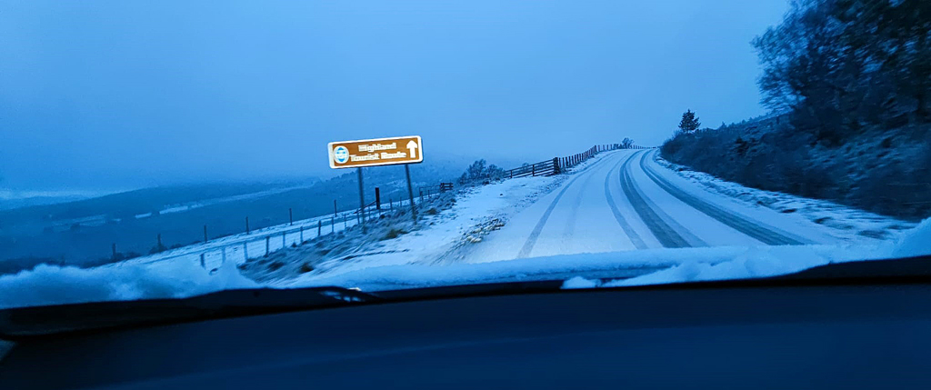
Off-piste again today, at least according to Google Maps. They refused to acknowledge there was a track running alongside Loch Builg, presumably thinking it wasn't suitable terrain for a frail and wobbly old man. Open Street Maps had no such worries though, so I went for it - despite reading
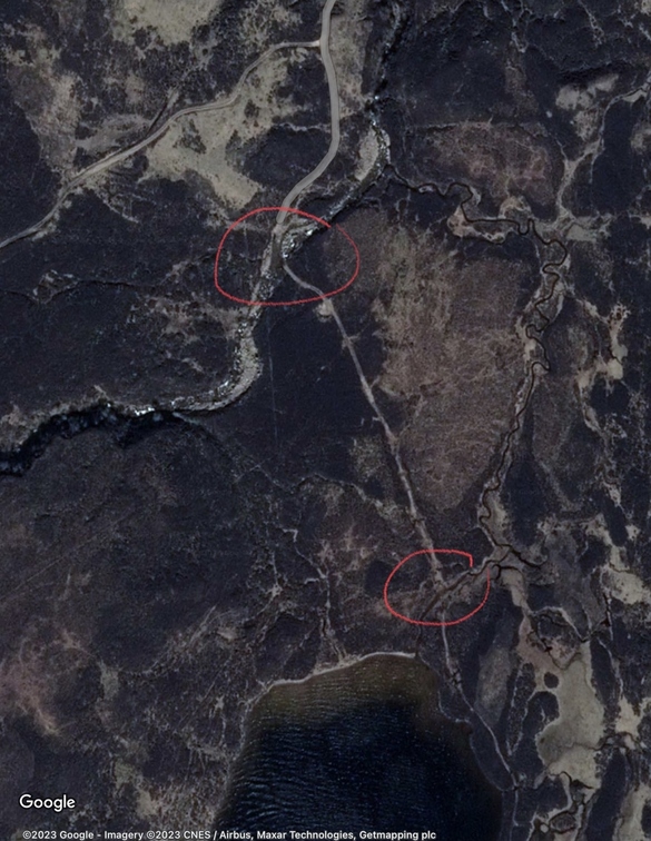
this web page. The two crossings mentioned there look worrying on Google Maps...
...but on OSM they are marked with a rather fetching little wavy blue line logo which could mean 'potentially lethal raging torrent', but instead I chose to believe represent 'gentle ford, ankle deep at worst.'
At the time I crossed them, in the real world I was joined by a twittering bunch of long-tailed tits, which took my mind off the problem and was good for the soul. Later I was given fifteen surplus new-laid eggs by the wife of a farmer friend whose new pullets have obviously hit the ground running. That was good for the wallet. I explained how I had just crossed two fiercely-flowing fords in the Cairngorms. She gave me the slightly indulgent, slightly worried smile that I have become used to.
That only left the problem of Google My Maps, who decided that my route maps now as complicated as they would allow (10 layers of information). I had to start bouncing them down, feeling very much like George Martin making Sgt. Pepper. Fortunately I found a website called kmlmerger.com which does the job admirably. He has a 'buy me a coffee' button. He'll be getting several.