andrew d
pfm Member
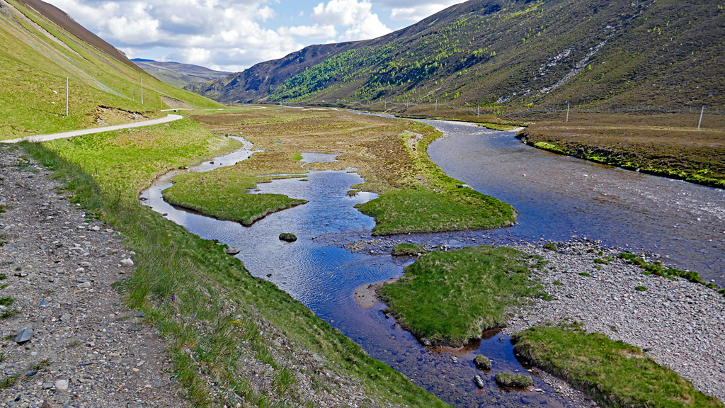
I keep getting the virtual North Coast 500 popping up on my twitter https://www.theconqueror.events/northcoast/ not that you'd want to take the scenic route back to where you've just come from! Theirs is quite a commercial organisation were participants "earn a stunning medal, get the opportunity to plant trees and stop plastic bottles entering the sea." All very admirable but not as much fun as the virtual knapsack map. I suspect you'll be avoiding the Big Smoke but let me know if I'm wrong.